


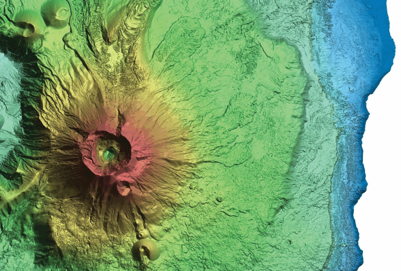
Lidar model of a volcano site in Hawaii
With the geospatial industry increasingly moving towards three-dimensional GIS and true three-dimensional representation of terrain and infrastructure, it becomes prudent for mapping standards to provide a measure to assess the accuracy of such representations. This measure was defined in the latest American Society for Photogrammetry and Remote Sensing (ASPRS) Positional Accuracy Standards for Digital Geospatial Data, published in 2024, in which the term “three-dimensional accuracy” was introduced to complement horizontal and vertical accuracy terms. This article provides users of the standards with practical methods for assessing the three-dimensional accuracy of geospatial data and helps them understand this new term of accuracy.
To read the full article visit: Towards Understanding the New Three-Dimensional Accuracy of the ASPRS Accuracy Standards – LIDAR Magazine
